All-hazard mapping and situational awareness solutions for emergency services.
Capture, manage and distribute critical information at incidents and emergencies.
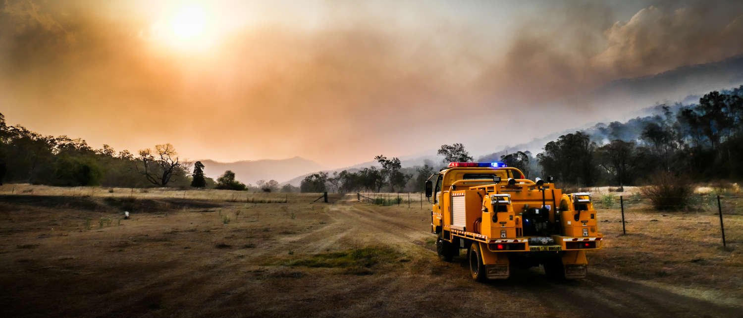
The nature of public safety is changing, and the expectation for timely and accurate operational information has never been stronger. FireMapper is the complete solution for efficiently capturing, distributing and interpreting critical information at incidents and emergencies.


Agency-wide digital field mapping that transforms situational awareness and decision making.
FireMapper is designed to be used operationally by first responders and incident management staff. It can operate as a fully hosted solution, on agency owned infrastructure, or a combination of both, providing significant flexibility in deployment approach, security, availability and functionality.
-

All Hazard Symbology
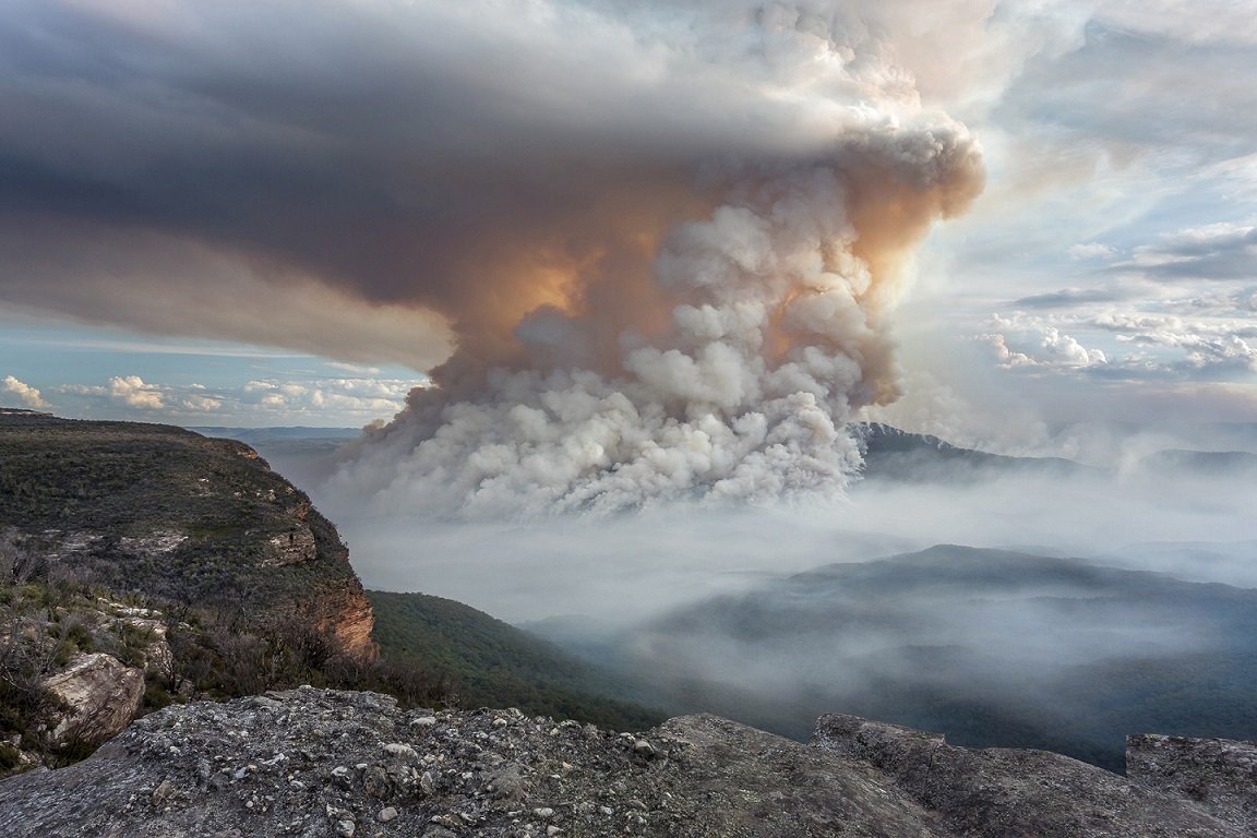
Specialised emergency and hazard symbology covering wildfire, controlled burning, flooding, storm damage, search and rescue.
-

Real-Time Information, Available Offline
Collaborate and interact on shared maps, as well as real-time tracking of appliance and aircraft locations. Designed to be used in the field, FireMapper functions even in areas with limited or no Internet access.
-

Enterprise Integration
Easily integrate FireMapper with your IT and GIS systems, including CAD and COP platforms. Say goodbye to information silos and hello to a more cohesive workflow.
-

Operational Focus, Better Decisions
Designed by a team of emergency service personnel to support operational processes, at incidents and in the air.
Serving agencies in Australia and overseas


Contact us
To find out more information or to arrange a demonstration please send us a message.